By CHARLES PARRETT
Dang, this Montana winter seems like the Energizer bunny—just keeps going and going. As I write, it is nearing the middle of March, and my outdoor vista here at home in Helena has no spring pastel greens (or even browns)—nothing but white.
Like everyone else (well, perhaps not you avid skiers), I’m tired of snow, and I don’t think we’re done with it yet.
If you think this winter’s snow accumulation is abnormally high, you are absolutely right.
The Natural Resources Conservation Service (NRCS) operates snow data collection sites in mountainous areas throughout the West, and, in February, the only Western state with above-average snowpack was Montana.
By March 1, snowpack at most Montana sites was well above average and even reached near-record (second largest recorded water content) or record levels (largest recorded water content) at 27 sites.
Some basin-wide snowpack averages exceeded 150 percent of normal (1981-2010).
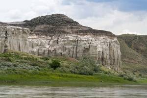
The Upper Clark Fork basin above Missoula registered at 159 percent. The Missouri River main stem headwaters basin above Great Falls (excluding the Jefferson, Madison, Gallatin, and Smith River basins) measured at 175 percent. The Yellowstone River basin above the mouth of the Bighorn River packed 165 percent.
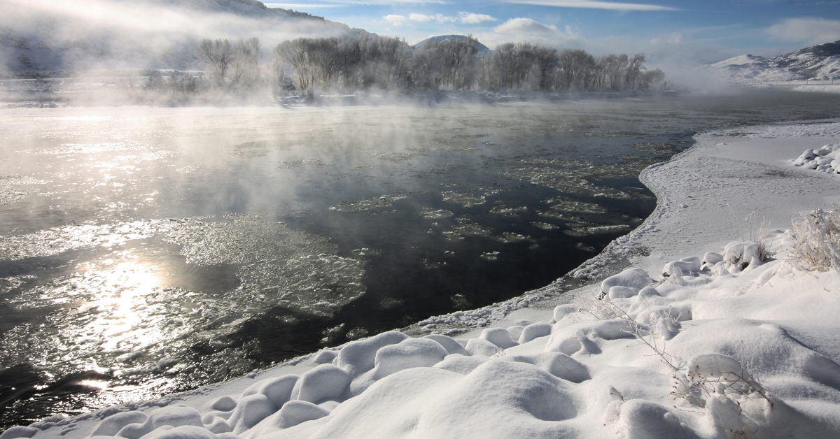
While these abundant basin alevels bode very well for an above-average spring and summer runoff in Montana rivers, the large snowpacks also suggest that some flooding may be on the horizon.
The exasperating thing about making flood predictions based on early March snowpacks is that floods are really complicated hydrologic processes heavily dependent on weather conditions between March and the time when most Montana floods occur in May and June.
May and June are not only the times when snowmelt runoff peaks in Montana; it is also the time when the heaviest rainfall occurs.
If the weather stays really cool (and we get yet more April snow), and if it gets really warm in mid-May, causing snowpack to melt quickly, and if we get a humongous big rain at the same time, then Katy bar the door and get the ark ready!
But those are a lot of “ifs.”
Another, perhaps more likely, scenario, is that temperatures stay cool at night and warm during the day over the next month or two, so the snowmelt proceeds slowly while the May-June rains behave normally.
Then we will have generally higher-than-average May-June stream flows but probably only “normal” flooding (an old retired hydrologist like me will tell you that we get flooding somewhere in the state every year—it’s a big state with widely varying weather and topography, after all).
My 30 plus years as a flood hydrologist have taught me that predicting anything about flooding months in advance of the normal May-June runoff peaks is really a crapshoot.
Yes, perhaps we have a greater chance of flooding because of the large March 1 snowpack, but, really, we need to see what the next two to three months bring in terms of the highly variable Montana weather to find out.
Stay tuned—an old Montana adage is that if you don’t like the weather, wait 15 minutes, and it will change!
Chuck Parrett is a Montana native and a retired (well, mostly) hydrologist who worked 30-plus years for the U.S. Geological Survey in Montana and California. He currently lives with his wife Bonnie just west of Helena, where he can keep an eye on Tenmile Creek, one of his favorite small streams.